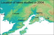
Southern Alaska showing location of lakes in photographs below
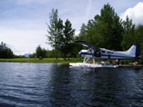
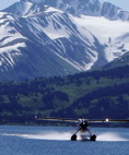
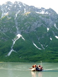
Beaver on floats, primary means of transport
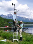
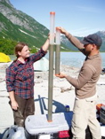
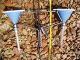
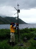
Al & Scott assemble weather station, Long Lake, Copper R basin
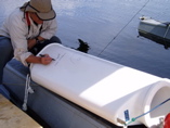
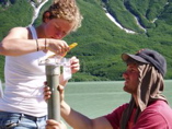
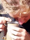
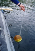
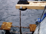
Feng Sheng christens an automated sediment sampler
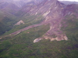
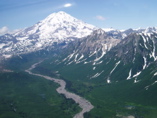
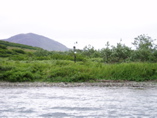
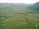
River bluffs, Copper River basin
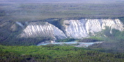
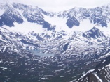
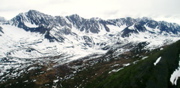
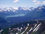
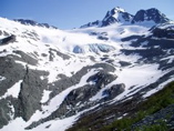
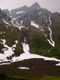
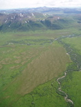
Hummocky, channelled drift, Chugach Mountains
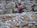
Rock glacier, Chugach Mountains
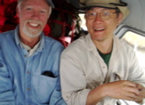
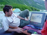
Scott & Feng Sheng in airplane
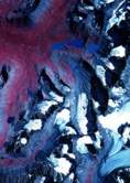
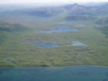
Gralying Lake with abundant evidence for Holocene glacier activity, false colore IR air photo
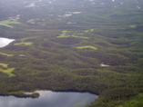
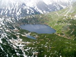
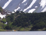
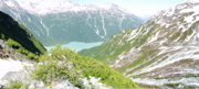
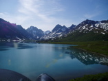
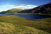
Glacier-fed Greyling Lake; target for 2005 coring
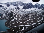
Holocene moraines, Greyling Lake
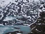
Young drift intersecting upper Greyling Lake
Prominent Holocene (?) loop moraines near Greyling Lake
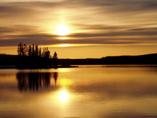
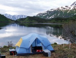
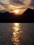
Sunset at Tonsina Lake Lodge
Goat Lake (upper left) with Harting Icefield outlet, false colore IR air photo
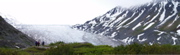
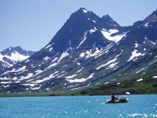
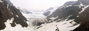
Goat Lake, Kenai Mountains; low saddle at top left was overtopped by late Holocene ice from on outlet of the Harding Icefield
Saddle above camp, Goat Lake
Outlet glacier with prominent left lateral moraine, saddle above Goat Lake
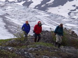
Scott, Feng Shen & Al examine recent ice-scour along saddle above Goat Lake
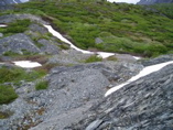
Holocene debris along right lateral at saddle above Goat Lake
Kasey & Erin point to current direction in former outflow channel above Goat Lake
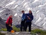
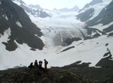
Kasey, Erin & Al with outlet glacier in background
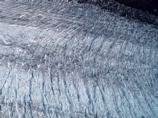
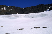
Crevassed surface of Harding Icefield outlet
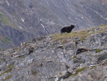
Black bear, Goat Lake
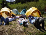
Goat Lake camp
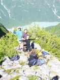
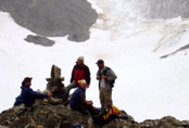
Kasey, Al, Erin & Tom
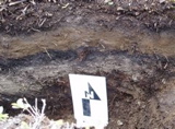
Tephra & buried soil in test pit at Goat Lake
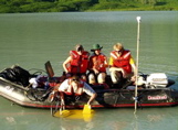
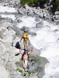
Al, Scott, and Tom hammering core into Goat Lake, 50 m water depth
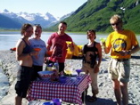
Lunch break, Goat Lake
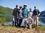
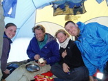
The crew, Goat Lake
Shuttling gear from Goat Lake to Upper Russian Lake
Tom tries a pair on for size
Redoubt Volcano, Alaska Peninsula
Crescent Lake with Holocene debris-flow fan from Redoubt Volcano damming lake in foreground
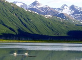
Tundra swans, Crescent Lake
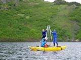
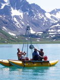
Kasey deploys acoustic profiling instrument while Erin, Kristi & Al look on, Crescent Lake
Profiling subbottom stratigraphy, Crescent Lake
Darrell reviews images of subbottom stratigraphy, Crescent Lake (photo by Kristi Wallace)
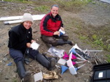
Kasey & Tom compare surface cores, Crescent Lake
Erin & Tom sample sediment from surface core, Crescent Lake
Kristi & others celebrate successful coring operation, Crescent Lake
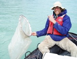
Al tries out tow net, Crescent Lake
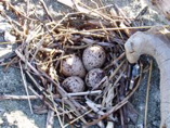
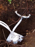
Plover nest
Late glacial moraine emerging from tributary valley above camp, Crescent Lake
Tom cheers as he approaches top of steep tributary valley
Tributary discharges from base of Holocene moraine
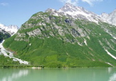
View back to Crescent Lake; Al stands on Holocene left lateral moraine; its pair at right
Sharp-crested Holocene moraine above Crescent Lake
Modern glacier with moraine from last few decades at lower left, above Crescent Lake
Cascade Lake (upper left) fed by Cascade Glacer lower center, false color IR air photo
Landing at Cascade Lake, Ahklun Mountains
Preparing to core Cascade Lake
Tom & Kasey working the hammer lines while Erin monitors progress on core-head cable, Cascade Lake
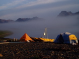
Morning fog at camp, Cascade Lake
Smoky midnight sunset over Cascade Lake
Panorama, Cascade Lake
Erin & Kasey assemble sediment traps to deploy at Cascade Lake
Sediment trap with temperature logger
Erin takes a close look at the surface sediment
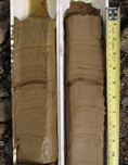
Laminated lake mud, Cascade Lake
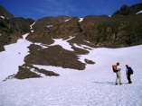
Hiking up to cirque glacier above Cascade Lake
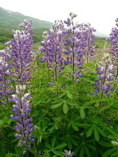
Lupine
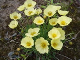
Poppies
Tom approaches bare-ice face of cirque glacier above Cascade Lake
Holocene moraines at spill-over below cirque threshold
Fresh debris flow near Cascade Lake
Cascade Glacier, Ahklun Mountains
Cascade Glacier photo station; moraine at right edge was formed since 1970
Monument at photo station, Cascade Glacier
Arolik Lake
Weather station behind beach ridge at southern shore, Arolik Lake
Al adjusting weather station with storm approaching from Kuskokwim Bay, Arolik Lake
Retrieving mooring deployed during 2003, Arolik Lake
Raising sediment traps deployed the previous summer, Arolik Lake
Lysimeter installed near Arolik Lake
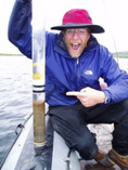
Al with surface core taken with CU corer, Arolik Lake
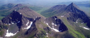
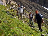
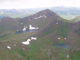
Cirques, Ahklun Mountains
Late Wisconsin kames & outwash near Arolik Lake
Late Wisconsin outwash marked by braided channels and incised by Holocene floodplain, Ahklun Mountains
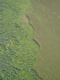
Scalloped scarp separating Late Wisconsin outwash and Holocene floodplain, Ahklun Mountains
Tarns, Ahklun Mountains
Ice thrusted (?) Late Wisconsin moraine, Ahklun Mountains
Togiak tuya, Ahklun Mountains
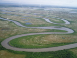
Meanders, Weary River near Dillingham