Prince William Sound
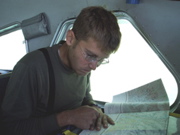
Caleb Schiff navigating
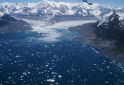
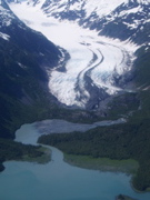
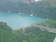
Columbia Glacier
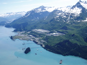
Pipeline terminal Valdez
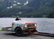
Alternative transportation
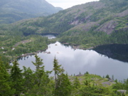
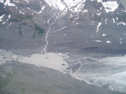
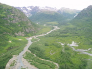
Mica Lake outflow
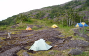
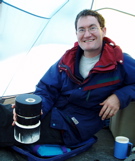
Mica Lake camp
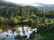
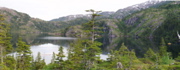
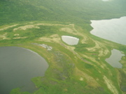
Pond near Mica Lake
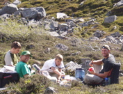
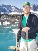
picnic at Greyling Lake
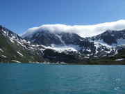
Cloud bank Greyling lake
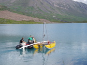
Setting out to core Greyling Lake
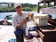
Nick McKay with recovered sediment trap
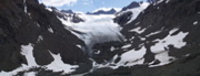
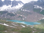
Little Ice Age moraines Upper Greyling Lake
Little Ice Age moraine Upper Greyling Lake
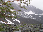
Willow Upper Greyling Lake
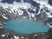
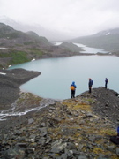
Lake glacial moraine Greyling Lake
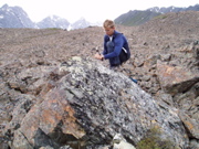
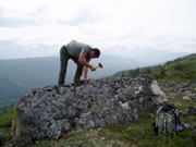
Sampling for exposure dating Greyling Lake
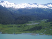
Deglacial landscape Chugach Mountains
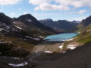
Hallet Lake Chugach Range
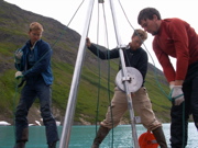
Caleb, Nick & Chris coring
Feng Sheng Hu collecting sediment trap samples Long Lake
Emerged spit Ahklun Moutains
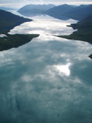
Shadow Bay looking west
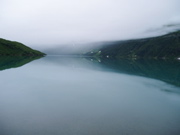
Fog Shadow Bay
Inflow delta Shadow Bay
Inflow to Shadow Bay
Scott Lamoureux with sediment flux monitor
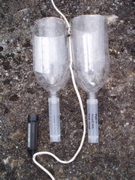
Sediment traps & temperature logger
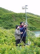
Scott & Claire installing weather station Shadow Bay
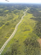
Trans Alaska pipeline
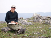
Jason Briner sampling for expousre dating
Mindy Bell on bouldery moarine crest NE Alaska Range
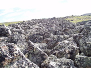
Bouldery moraine NE Alaska Range
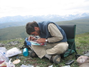
Darrell studying aerial photos
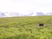
Caribo NE Alaska Range