Home Page

|
|
|
|
|
|
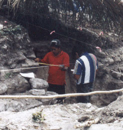
The
research takes place in an historically important locale that is one of
the least explored areas of Belize, Central America. Minanha, a site J.E.S.
Thompson (1931) judged significant seventy years ago, has only been recently
rediscovered in west-central Belize (click here
to see Belize map). The site core (click here
to Minanha site core map)(Joyce et al. 1927) is positioned on the eastern
frontier of the Peten region between many important sites.